


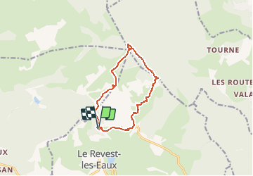
Stade du Revest - Turcos - Cassini - Retour

affinetataille
User GUIDE


4h00
Difficulty : Medium

FREE GPS app for hiking
 SityTrail
IGN / Geographical institutes
SityTrail Plus
The world is yours!
About
Trail Walking of 11.4 km to be discovered at Provence-Alpes-Côte d'Azur, Var, Le Revest-les-Eaux. This trail is proposed by affinetataille.
Description
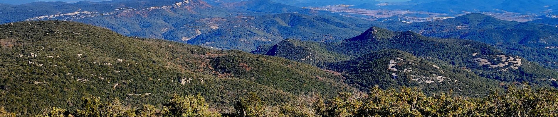
De magnifiques vues depuis le sommet de Grand Cap et de la pyramide Cassini.
Prendre le temps de visiter l'impluvium (juste au dessus de la carrière)
Pas de difficultés particulières sinon.
Photos


Positioning
Comments